5 minutes ago
Simon King,Lead Weather Presenterand Henry Moore

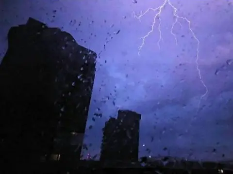
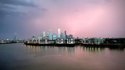 Wapping Weather / Weather Watchers
Wapping, London
Thunderstorms overnight caused flash flooding and travel disruption as the country prepares temperatures of up to 40C in the coming days.
Thunderstorms rolled into south west England on Monday evening and continued to move eastward into the south east through the night, with people reporting being woken up in the early hours by loud crashes of thunder and flashes of lightning.
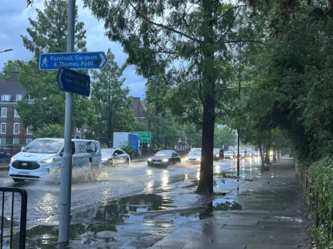
London Fire Brigade said it responded to 400 calls overnight, including to two house fires believed to be called by lightning strikes, while a house in Bristol was reportedly set ablaze during a storm earlier in the evening.
It comes as England braces for temperatures of up to 40C, with the Met Office issuing a rare red alert set to come into force on Wednesday.
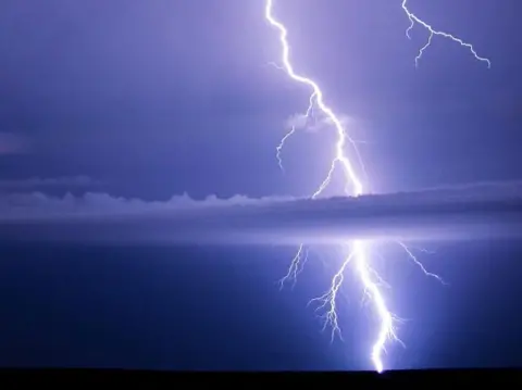
We saw around 7,000 lighting strikes over the last 24 hours with some very heavy rain in some areas leading to flash flooding.
The intense thunderstorms developed due to a couple of factors.
The first is that it was very warm if not hot across southern England on Monday afternoon and temperatures soared into the high 20s and low 30s.
This heat transfers into the atmosphere, giving it a lot of energy. That energy is then primed for a trigger to covert it into big cumulonimbus - thunder - clouds.
The trigger we saw was then an atmospheric disturbance higher in the atmosphere - which essentially allowed all that stored energy to be released, resulting in the intense thunderstorms.
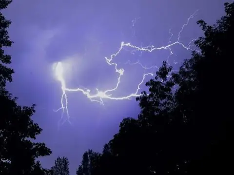
 Gardener Patrick / Weather Watchers
Brasted, Kent
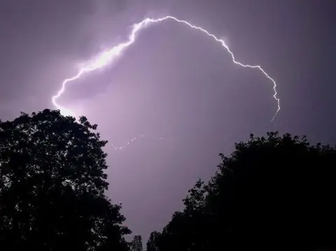
 Marzy / Weather Watchers
Hammersmith, London
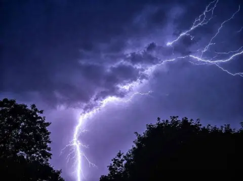
 Leigh / Weather Watchers
Chelsea, Greater London
 Peter Barrett / Weather Watchers
Hornchurch, Greater London
 Peter Barrett / Weather Watchers
Hornchurch, Greater London
 Peter Barrett / Weather Watchers
Hornchurch, Greater London