 Image source, BBC Weather Watchers / Robin Red Breast
ByBen Rich
Lead Weather Presenter
After a stretch of unseasonably low temperatures for much of the UK, spring warmth is set to make a comeback next week.
Afternoon highs could climb above 20C (68F) in some places, marking a big change from the cold snap currently affecting the UK.
Warmer weather does not necessarily mean dry weather and sunshine for everyone though, with fronts expected to bring rain at times, particularly in the north and west.
The increase in temperature will not happen quickly, with chilly air expected to cling on for the next few days.
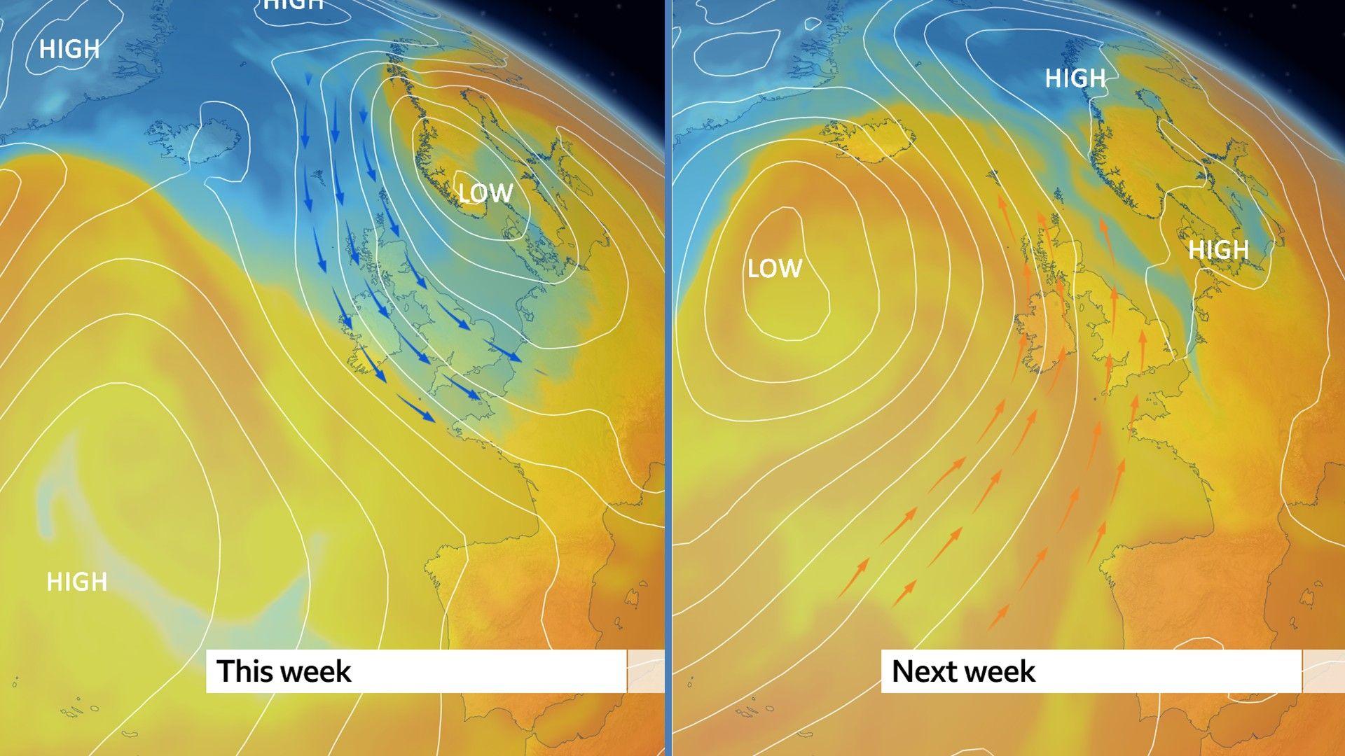
Northerly winds are currently blowing across the UK bringing cold Arctic air across our shores.
This is holding daytime temperatures several degrees below the seasonal norm with some late-season frosts at night.
This chilly air will stay with us during Wednesday, Thursday and Friday with daytime highs around 9-14C (48-57F), sunny spells and blustery showers, and the ongoing risk of overnight frost.
The cold air is heading our way thanks to a combination of high pressure in the Atlantic and areas of low pressure moving to the north and east of the UK - driving northerly winds.
But over the weekend that pattern will - slowly but surely - start to shift.
Westerly winds will develop and by Sunday temperatures should be back to the mid-May average of 12-18C (54-64F).
Temperatures will swing from below average to above average as the wind direction changes
By the middle of next week the pattern looks likely to flip completely, with low pressure to the west of the UK and high pressure to the east.
That will bring southerly winds from the subtropics - and a very different feel.
Next week is still a long way off in weather forecasting terms so the exact numbers may change.
However, computer models suggest that many areas could see maximum temperatures into the high-teens or low-twenties Celsius.
It is not impossible that parts of southern England and Wales could see the thermometer climbing even higher, into the mid-twenties Celsius.
It will depend upon the exact positions of the areas of high and low pressure, how warm the air heading our way will be - and on how much sunshine we get to see.
Warmer but not necessarily dry
As high pressure and low pressure battle for supremacy it is likely that at least some of us will see showers or longer spells of rain - which could be heavy and thundery.
At the moment it looks like the wettest of the conditions will be across northern and western parts of the UK with drier conditions further south and east.
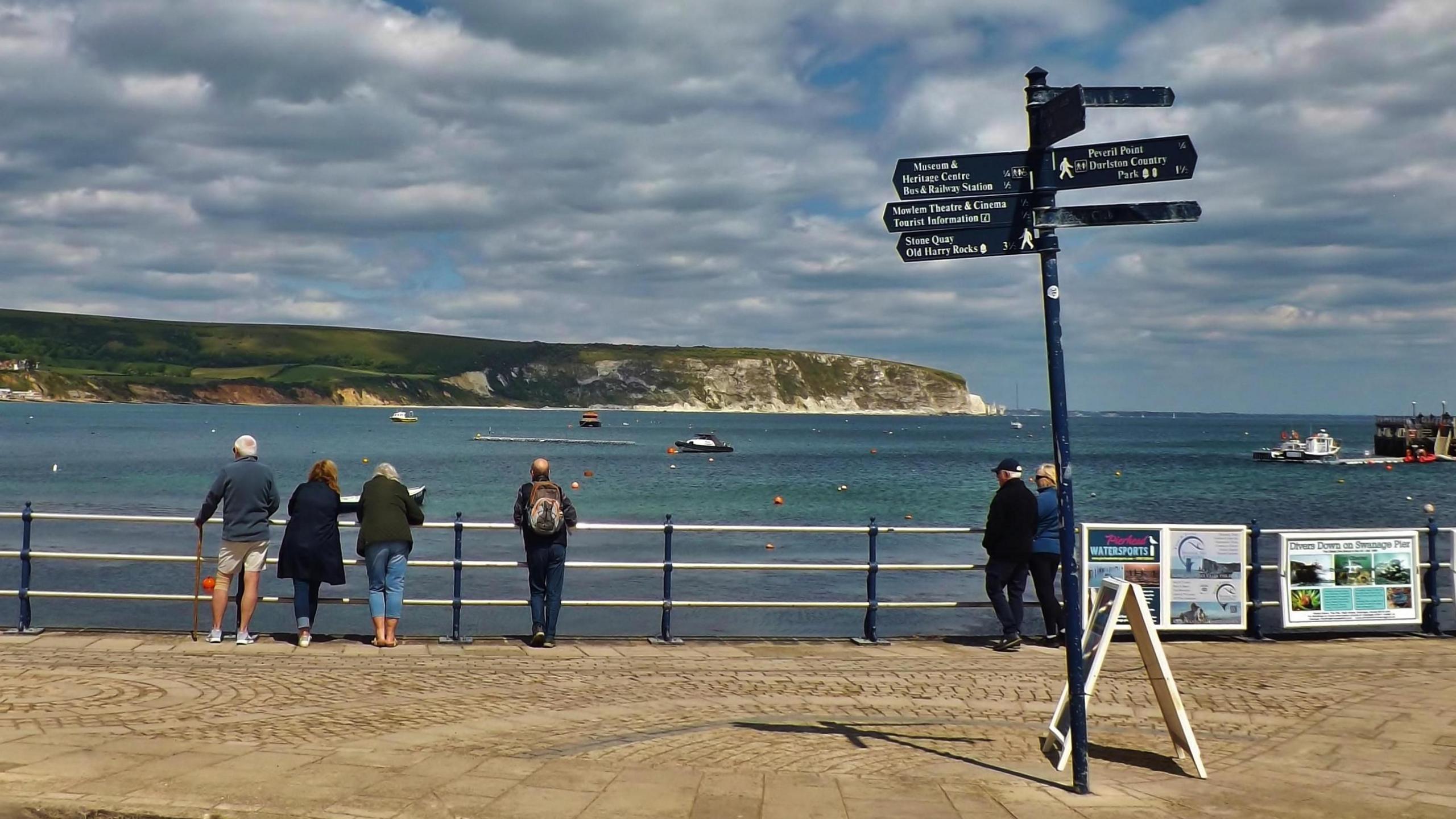
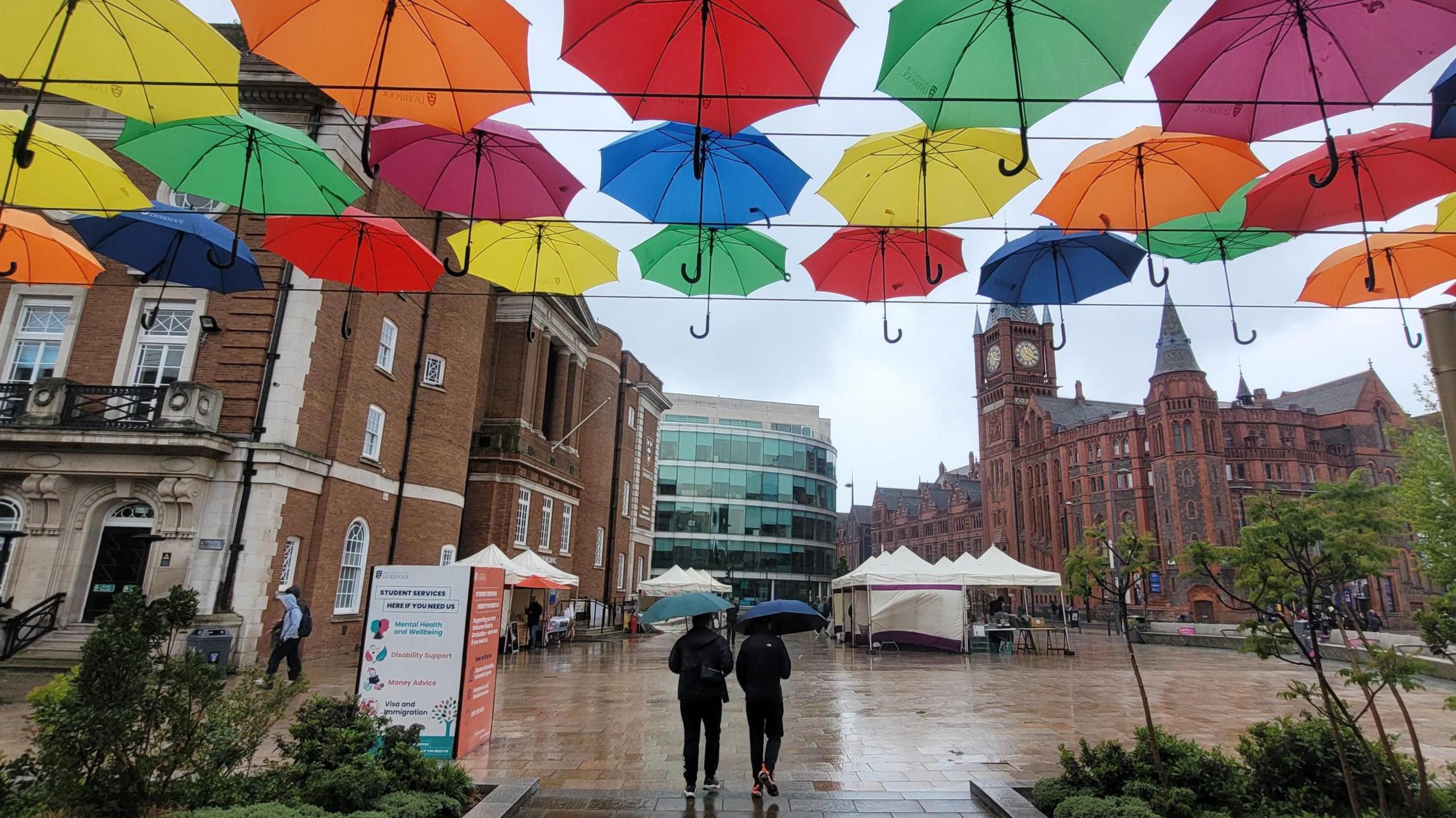 Image source, BBC Weather Watchers / A Man For All Seasons!
Even as the weather gets warmer umbrellas may still come in handy