.png) 1 hour ago
2
1 hour ago
2

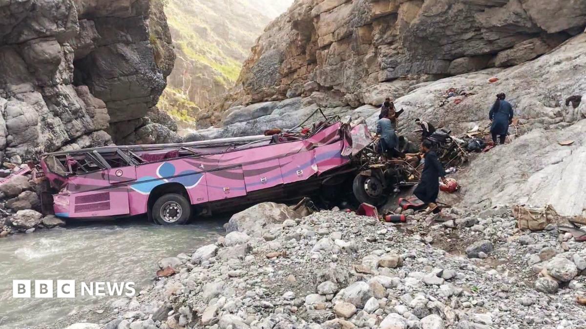
June 24, Caraballeda

The moment the quake struck the coastal region of Caraballeda, Venezuela. @neracosu via TikTok
Any large earthquake can be dangerous, but the residents of Caracas and Venezuelan coastal cities like La Guaira and Catia La Mar were victims of several unlucky factors.
Two quakes in rapid succession, a fault that ruptured toward more populated areas, soft ground and the shallow depth of the temblors all combined to make the June 24 disaster especially severe, even for areas that were miles away from the epicenter.
Here is what made it so deadly.
The “doublet”
First, and most important: there was not one earthquake but two, separated by just 39 seconds. Seismologists call this a “doublet.”
The first was smaller measuring 7.2 in magnitude; the second was much more powerful, measuring 7.5.
The doublet meant that buildings had to withstand chaotic shaking for far longer than they would have in an ordinary earthquake.
“Almost certainly, what happened was that the first earthquake triggered the second one,” said David Oglesby, a professor of geophysics at the University of California, Riverside.
The earthquakes left over 2,200 people dead, according to the Venezuelan government. Over 400 buildings were destroyed, and hundreds more were damaged.
The direction
Seismic waves from the first quake radiated outward in all directions. But it was the waves traveling east that eventually reached a point on the San Sebastián fault that was ready to slip. That set off the second earthquake. The rupture from that continued east — more than 100 miles toward Caracas, the capital.
“There were two directions this fault could have gone,” said William Barnhart, a geophysicist in the earthquake hazards program of the United States Geological Survey. “It could have gone to the west, or the east toward Caracas. They would have been lucky if it had gone the other direction.”
The New York Times
The initial rupture occurred on what is known as the Boconó fault, part of the system that produced a tremendous earthquake in the 19th century, Dr. Barnhart said.
Satellite imagery shows that the second quake then traveled east along a well-known seam between two of Earth’s tectonic plates — the San Sebastián fault.
“We know that the fault extended as far as Caracas,” said Dr. Barnhart, “and that starts to explain, in part, why there’s so much shaking there.”
The ground shift
Scientists compared satellite imagery from before and after the quake to measure how much the ground shifted. In coastal regions such as La Guaira — where the fault runs only a couple of miles offshore or directly beneath the city — the ground moved as much as 1.5 feet to the west.
The San Sebastián is a strike-slip fault, meaning that the Earth moves primarily horizontally along it. During the quake, regions to the north of the fault slipped east, while regions south of the fault shifted west.
The New York Times
In areas built directly on top of the fault, the displacement is made clear by satellite analysis.
For example, the northern half of Simón Bolívar International Airport was displaced to the east, with the southern half being pushed in the opposite direction. The San Sebastián fault runs along the seam between the two directions of displacement.
Although cracks in the airport ground were visible in post-quake imagery, satellite analysis indicates that the fault did not reach the surface of the earth in that region, Dr. Barnhart said. Had it done so, the contrast between the two directions of displacement would have been even starker, he said.
The New York Times
The “directivity” effect
Another factor may have increased the strength of the shaking to the east of the rupture, Dr. Oglesby said.
As the rupture moved east, it may have pushed up the amplitude, or strength, of seismic waves, piling them up like waves in front of a boat, or sound ahead of a speeding motorcycle. The effect, known as “directivity,” probably amplified the strength of the shaking toward Caracas, though more data is needed to confirm it.
“Directivity very likely contributed to the strong ground motion in Caracas and the area overall,” Dr. Oglesby said. “It could make the difference between a building standing, with damage, and completely collapsing.”
“As shallow as it gets”
The depth of the quakes, or more precisely the lack of it, may also have compounded the destruction.
The quakes began only around six miles below ground, and so the shaking was felt especially strongly on the surface. “That’s almost as shallow as it gets,” Vitor Silva, head of risk engineering for the Global Earthquake Model Foundation, said.
As with a bomb going off underground, an explosion that is shallower produces greater shaking at the surface, Dr. Silva said. “There is a very short distance between areas where energy is being released and the built environment,” he said.
Built-up areas in the region, as in many parts of the world, also tend to sit on relatively flat ground, which is often soft, sedimentary material that can amplify seismic waves.
As the second rupture moved east, it traveled about 110 miles toward populated areas like Caraballeda, La Guaira and Caracas, sending seismic waves radiating outward along its path — explaining why the strong shaking extended so far away from the epicenter.
The New York Times
The worst damage was seen in low-lying areas along the coast.
Source: Microsoft (damaged buildings). The New York Times
The soft soil
Yet another process that seismologists study is how the shaking, or seismic waves, make their way to the surface. In the simplest terms, a solid-rock surface tends to damp down the waves, and a softer, sedimentary surface amplifies them.
Humans tend to build on flat, sedimentary areas — former lakebeds and sea bottoms — that do not behave well in earthquakes. It is no different in Venezuela.
The exact frequencies, or wavelengths, that get amplified by the sediment depend on the details, such as its thickness or exact composition. If those amplified waves match the natural swaying frequency of a nearby building, they resonate. This can cause the building to shake far more violently, leading to more damage.
Earthquake engineers must account for all this when designing buildings to withstand what may rush from the ground below.
In Caraballeda, satellite analysis shows that at least 152 buildings were destroyed, with dozens more damaged. Most of these buildings were along the low-lying coastline, built on regions of unconsolidated soil that can amplify shaking.
Sources: Copernicus (destroyed buildings); Microsoft (damaged buildings). The New York Times
Several high-rise buildings in the area built along the coast collapsed.
Before
Shutterstock
After
Reuters
Near the Playa Grande neighborhood, at least 246 buildings were destroyed and nearly all of them were built on top of the same soft soil. The San Sebastián fault runs directly underneath this region.
Sources: Copernicus (destroyed buildings); Microsoft (damaged buildings). The New York Times
Other factors
Engineers say Venezuela’s seismic codes are some of the best in Latin America. The question is whether they were followed.
From the scale of destruction, it appeared that some and perhaps many buildings had not been built to code, though experts said a full accounting would have to wait until the search for survivors had ended.
Far more study will be required to understand why and how so many buildings fell apart in Venezuela. Some collapses may have been the result of so-called soft stories, where a single floor — often the ground floor — is not as strong or well designed as others in the same building.
Adriana Loureiro Fernandez for The New York Times
In other cases, columns seem to have given way throughout entire buildings, suggesting that they lacked proper reinforcements or that contractors skimped on the amount of steel.
Older buildings may have folded and fallen simply because they predated Venezuela’s more recent code upgrades.
There are also buildings that are a total loss — walls and contents spilling onto the ground — but still stand. That allowed residents to escape. Outcomes like that would, presumably, be consistent with codes that prioritize human survival over structural preservation.

Collapsed buildings at La Guaira, June 29, 2026. Adriana Loureiro Fernandez for The New York Times